Real Trail Ride Tracked by EquiNex — 6.8 mi, 1,960 ft climb
Ride Tracking · Murrieta, CA · March 14, 2026

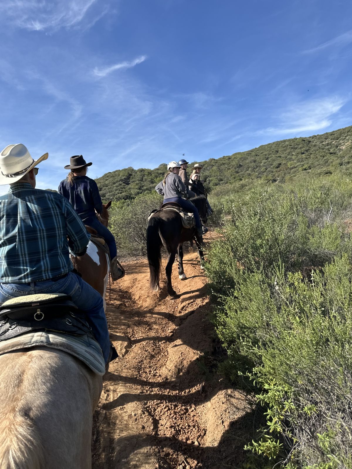
This is what EquiNex recorded on a real trail ride.

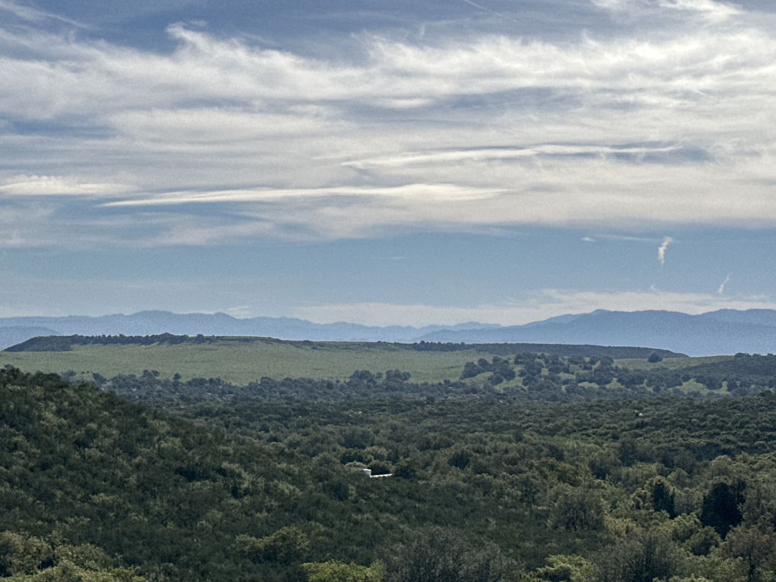
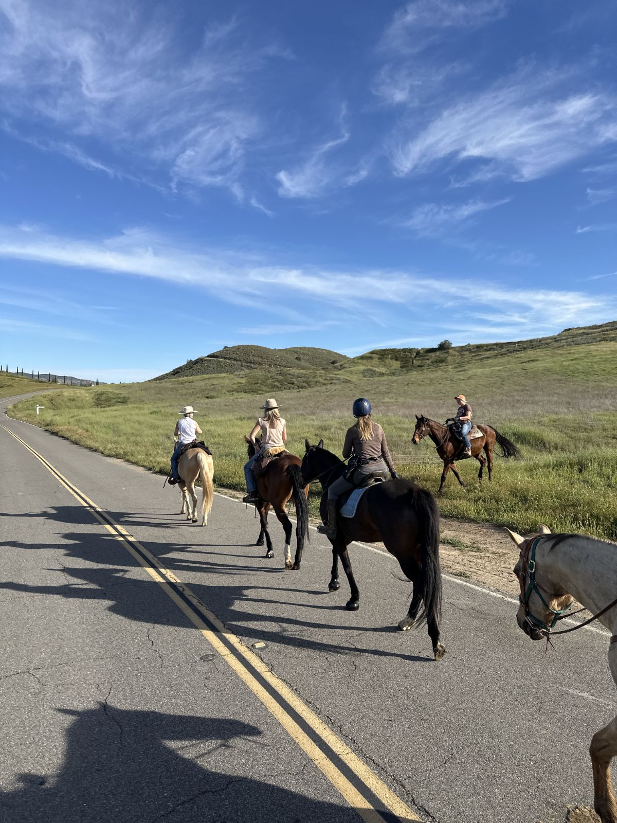
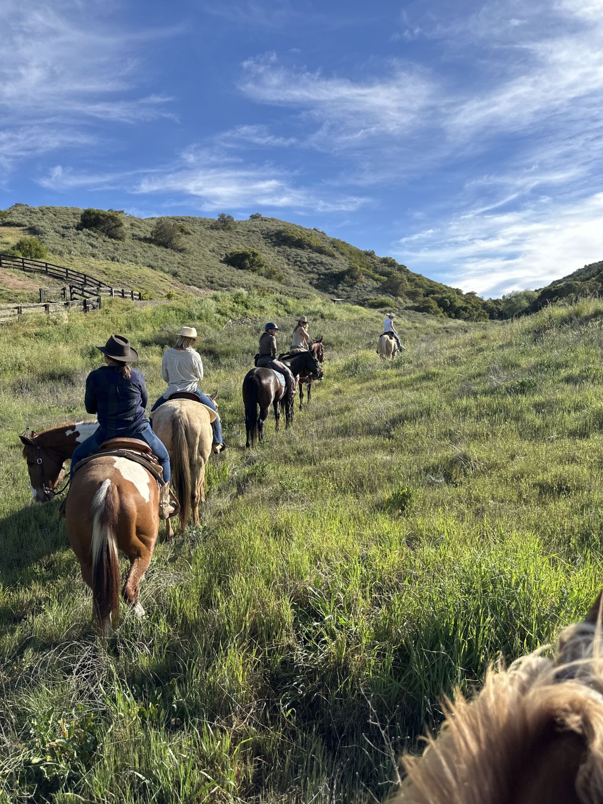
6.8 miles. 1,960 ft of climbing. 14 photos. 7 waypoints marked as we rode. AI analysis waiting at the finish.

Scroll down. This is the actual data from the actual ride. Every ride you track in EquiNex gets a page exactly like this, ready to share with your riding club, your trainer, or anyone who wasn't there.

Free to download. No credit card required.

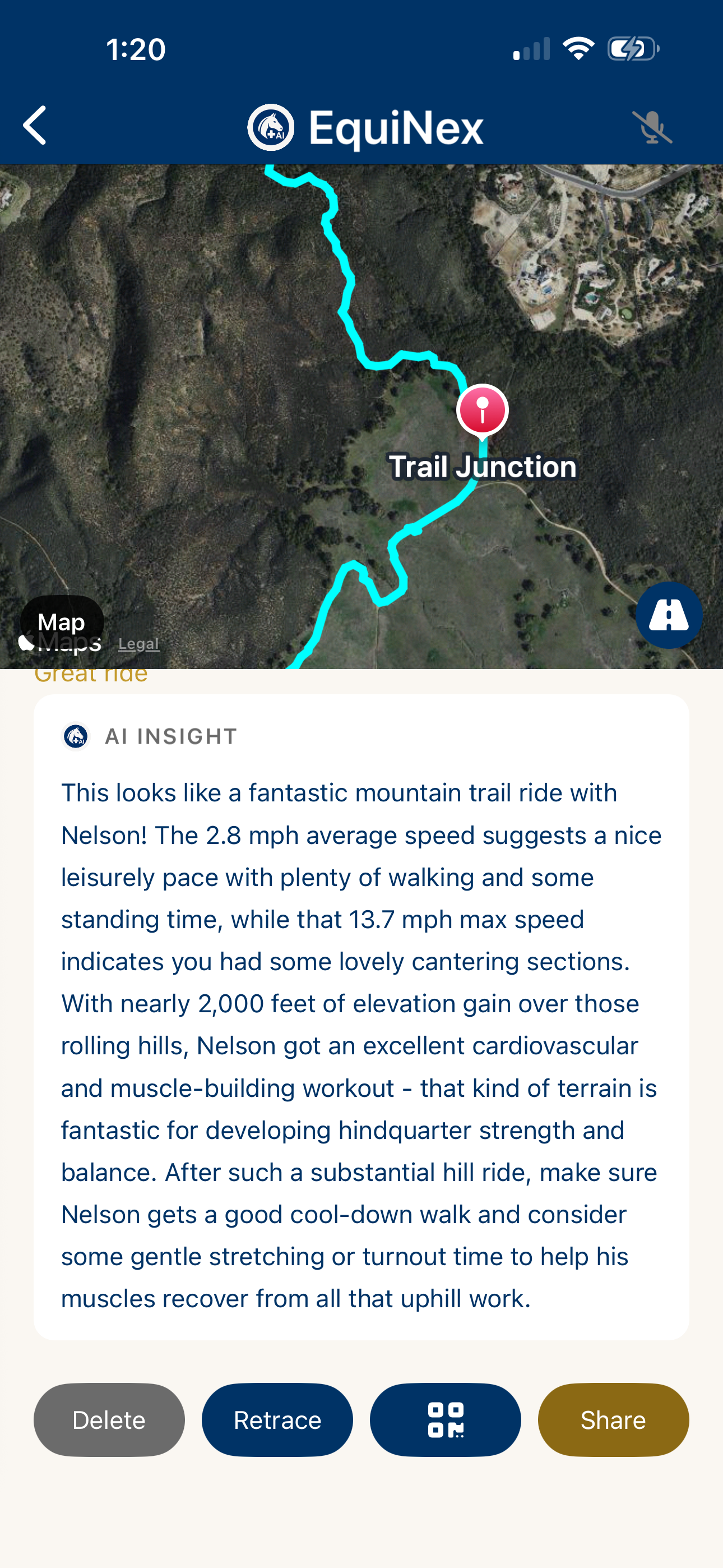
AI Insight after trail ride — EquiNex analyzing Nelson's conditioning
Distance 6.83 mi
Duration 2h 24m
Elevation Gain +1,960 ft
Peak Elevation 2,352 ft

GPS trail — tap to explore the route

Photos

Trail Markers

💧
Water
4:20 PM
📍
Other — B bridge
4:52 PM
📍
Other — Bridge
4:57 PM
🔀
Junction
5:02 PM
🔀
Junction
5:14 PM
📍
Other — Bridge
5:29 PM
Rest
5:33 PM
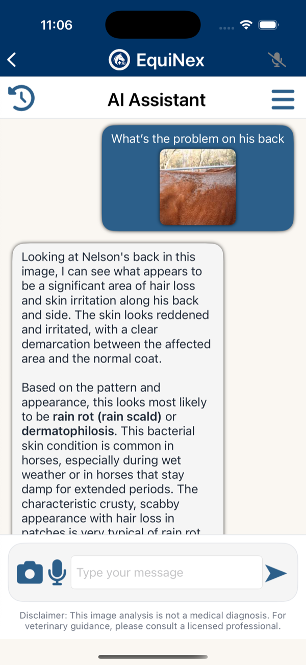
But ride tracking is just one thing EquiNex does.

Every ride lives inside a complete horse profile — with health records, AI body condition scoring, vet scheduling, feed plans, and 24/7 AI health analysis. All in one app.

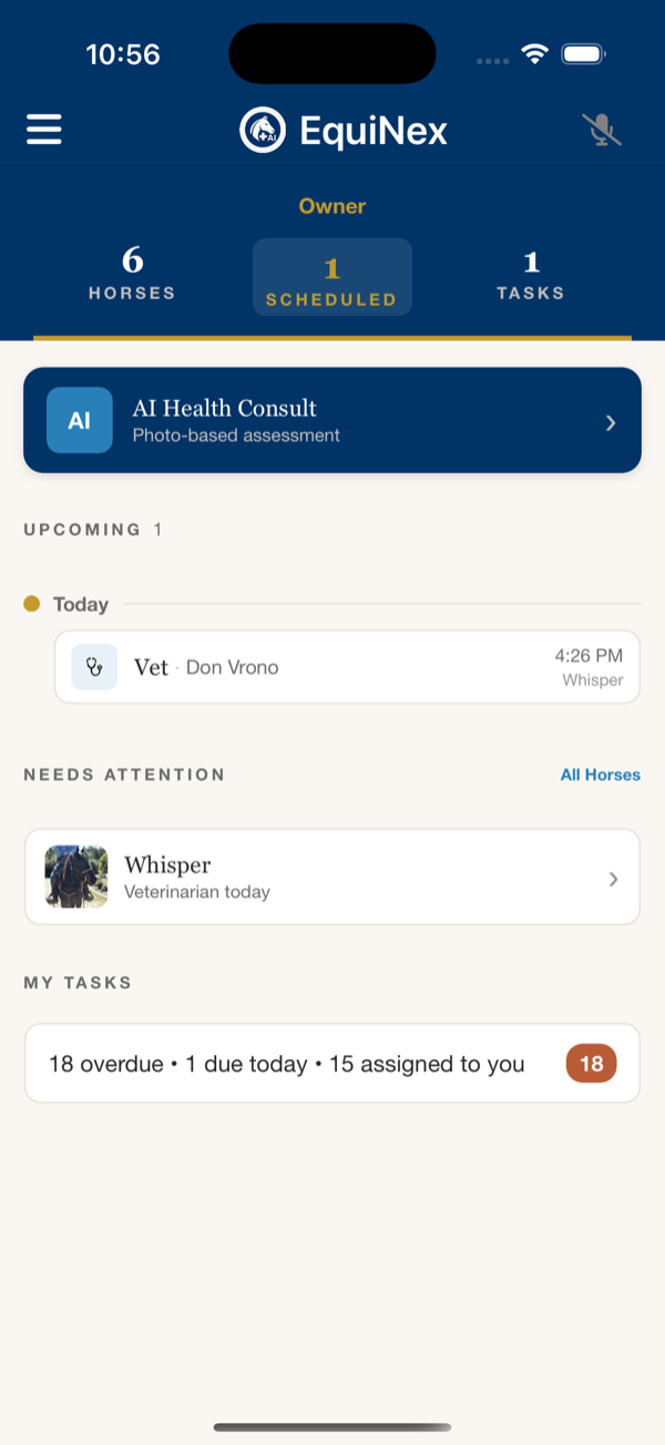
EquiNex dashboard
Your barn at a glance
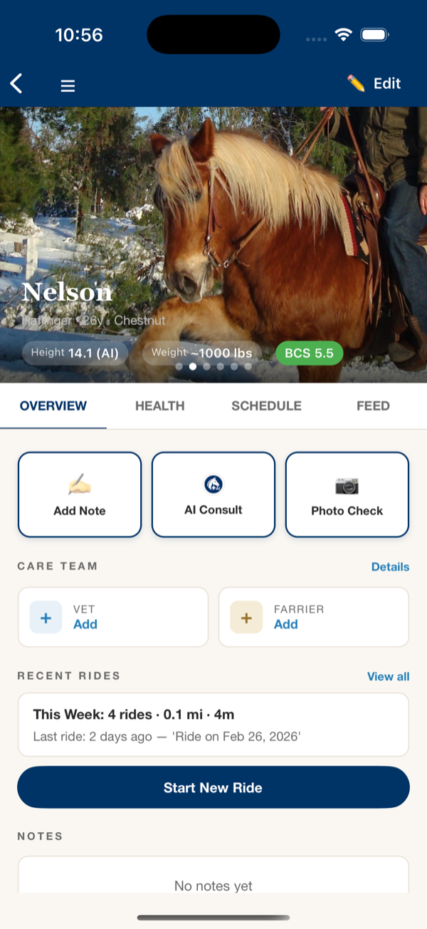
Horse profile
Everything in one scroll
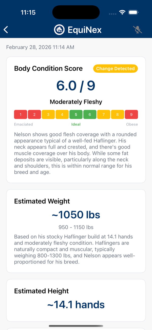
AI Body Condition Scoring
AI body condition scoring
AI health analysis
AI health analysis

Free to download. No credit card required.

Start with one horse. Add your whole barn when you're ready.

Download on the App Store Get it on Google Play